general processing, most frequently used:
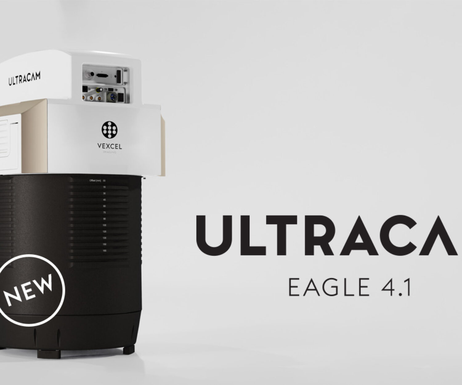
Vexcel Imaging Ultramap
Z/I Imaging PPS, Z/I inflight, Z/I Mission, T-FLIGHT, T-Plan, ASMS
Leica Geosystems HxMap,Leica CloudPro, Leica LiDAR Survey Studio™, Leica MissionPro, Flight Pro, FCMS, Ascot
IGI AEROoffice, IGIplan, WinMP
Track‘ Air SnapPlan, snapXYZ, snapSHOT, snapBASE, nanotrack, XTRACK, x-track